
Unclear property boundaries can cause disputes among neighbors, which may lead to violent land clashes and even deaths. Such clashes take time, can be expensive, and usually require legal action. But the advances in technology have the potential to break this age-old dilemma. As a result, property boundary applications have become helpful tools for avoiding disputes, being able to clarify, and giving precision in property boundaries.
The development of property boundaries app technology represents a significant advancement in land management. These digital solutions utilize satellite imagery, GPS data, and mapping technologies to provide property owners with accurate, accessible information about their land boundaries, helping to prevent misunderstandings and potential conflicts before they arise.
What Are Property Boundary Applications?
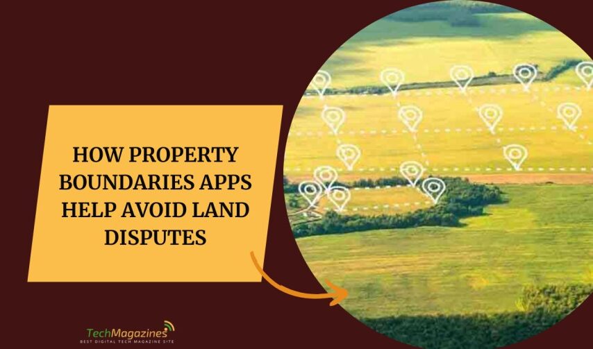
Property boundary applications employ technologies like GPS and satellite images to produce accurate land parcel maps. The graphic representations offered by these tools facilitate a greater understanding for property owners of the actual parameters of their properties. This clear transmission prevents misinterpretation, which can lead to conflicts. Additionally, the boundary information these tools provide is available to anybody with a smartphone, tablet other connected devices.
These applications support comprehensive land management in multiple ways. First, accuracy is enhanced tremendously. Conventional ways to identify land division, such as physical markers or old maps, often contain mistakes. Digital boundary tools offer greater precision, ensuring all parties are aware of exactly which lands they own.
Benefits of Property Boundary Technology
Cost efficiency is another advantage of property boundary apps. Traditional litigation and professional surveys can be extremely costly. Most users save money due to the avoidance of unnecessary legal proceedings. Furthermore, these digital solutions save considerable time. While traditional processes can take weeks or months to address, digital tools provide instant access to information about property lines.
The convenience factor cannot be overlooked either. Property owners can access boundary information whenever needed, without scheduling appointments with surveyors or searching through paper records. This immediate availability of information helps property owners make informed decisions about land use, improvements, and potential purchases.
Better Neighborhood Communication
Effective communication is the best tool to avoid land disputes. Boundary apps promote constructive, free conversation by providing irrefutable information about where the property lines are located. When both parties reference the same digital map, discussions become anchored in factual information rather than assumptions or misunderstandings. Having this common knowledge base allows for amicable solutions and also promotes cooperative problem-solving approaches.
These tools can assist in recognizing potential encroachments or overlaps at an early stage, which means one can avoid issues with neighbors or address them proactively. According to the American Bar Association, identifying boundary problems early enables conflicts to be resolved before they escalate into full-blown disputes, helping maintain healthy relationships between neighboring property owners.
The Legal Aspect and How to Seek Help
These applications are great tools, but they do not serve as a replacement for professional surveyors or legal advisors. Official documentation remains essential in property matters. Property boundary tools serve as an additional resource that provides context to assist in preliminary decision-making. They help lawyers provide visual evidence during negotiations or court proceedings.
The applications help users see the overall picture of their land, which often leads to more informed decisions. This comprehensive view allows homeowners to take appropriate steps to ensure their property rights are protected and properly documented.
Challenges and Limitations
However, property boundary applications come with plenty of advantages but also some limitations. One significant constraint is that their accuracy depends on the information entered. Misinformation from outdated or incorrect data sources can breed confusion. Users must verify the sources of the data to ensure reliability and trustworthiness.
While technology advances accessibility, not everyone is comfortable with digital. Education and support for people less familiar with technology are essential to help them maximize the advantages these applications can provide. Developers should consider creating intuitive interfaces and offering robust customer support to address this challenge.
Opportunities for Digital Solutions in the Future
As technology continues evolving, property boundary applications have significant potential for future development. Future innovations may incorporate augmented reality capabilities, giving users an enhanced visual experience of property lines in real-time. These advancements can add additional layers of accuracy and create an even more engaging experience for users.
With increasing interest in these tools, we can also expect greater collaboration between developers, legal experts, and surveyors. Such cooperation may help standardize practices to maintain consistency and reliability across various platforms, ultimately benefiting property owners worldwide.
Conclusion
Property boundary applications represent an important advancement in land management. Their accurate and accessible information reduces disagreements and increases harmony between neighbors. Although these tools may present some challenges, the advantages greatly outweigh the limitations. Utilizing property management technology sets the foundation for a future where property disputes become increasingly rare. With the development of such digital solutions comes the potential for more peaceful and informed experiences with land ownership.