
Most investors still rely on quarterly reports and macroeconomic indicators, but top players in the financial world are beginning to implement the use of satellite imagery. In the following text, you’ll learn how analyzing satellite images can predict market trends, monitor supply chains, and provide a competitive edge. Discover why space-based technologies are becoming the next essential tool in modern investing.
The use of satellite imagery represents another facet of the data-driven investing trend, where every informational advantage can translate into higher returns. Let’s uncover what satellites can reveal to the attentive investor.
How Satellite Imagery Is Ushering in a New Era of Investment Analysis
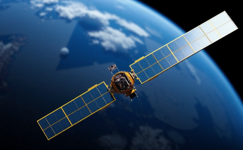
Traditional financial analysis has long relied primarily on numbers—profit and loss statements, balance sheets, and macroeconomic data published with a delay of several months. Today, however, top-tier investment firms—particularly hedge funds—are supplementing these sources with alternative data from space. Satellite image analysis enables the tracking of economic activity in near real time, often months before it appears in official reports.
Imagine being able to monitor activity in Chinese factories, track cargo ships in ports, or assess parking lot occupancy at shopping centers across continents—all without physically visiting a single location. This is precisely the capability satellite technology offers to investment managers. Unlike traditional data sources, which suffer from delays and are often subject to creative accounting, satellite data provides an objective and up-to-date view of economic reality.
Major funds like Bridgewater Associates and Renaissance Technologies are now investing tens of millions of dollars into data teams that specialize in processing and interpreting imagery from space. Their goal isn’t to replace traditional financial analysis but to enhance it with an additional layer—one that enables them to detect trends before the competition does.
Specific Examples of Satellite Imagery Use in Financial Decision-Making
Various investment strategies and sectors use satellite data. Its practical value is especially evident in the following areas:
- Retail and Consumer Goods—monitoring foot traffic at shopping malls and fast-food chains by counting cars in parking lots offers insight into revenues before official earnings reports are released.
- Commodities Markets—tracking oil tankers, water levels in reservoirs, or the condition of crops enables highly accurate forecasting of commodity price trends. (More about…)
- Industrial Production—analyzing activity at factories and logistics centers using thermal signatures or truck movement reveals the actual state of production.
- Real Estate—evaluating construction activity in developing areas or changes in infrastructure provides valuable insights for real estate fund investors.
- Macroeconomic Analysis—combining satellite data from various sectors allows for the creation of alternative economic indicators that often anticipate official statistics.
An example of a successful application is the strategy used by hedge fund Citadel during the COVID-19 pandemic. By monitoring activity in Chinese factories and ports, the fund was able to anticipate disruptions in global supply chains weeks before this reality was reflected in stock and commodity prices. The result was a significant advantage over competitors and exceptional returns during a time of unprecedented market volatility.
Technological Evolution in the Use of Satellite Imagery for Investment Purposes
While satellite data was once primarily the domain of government agencies and the military, it is now accessible to private entities as well.
A major factor driving this shift is the advancement of artificial intelligence and machine learning. Without sophisticated algorithms, raw satellite images would amount to nothing more than a collection of pixels with limited practical use. However, modern satellite image analysis can automatically detect and count objects, measure changes over time, and identify anomalies. Combined with high computing power, advanced visual algorithms transform raw data into actionable investment signals.
Another key development is the shortening of image refresh intervals. Today’s satellite constellations can provide updated views of the same location multiple times a day, enabling investors to track the dynamics of economic activity almost in real time.

Limitations of Satellite Data in an Investment Context
Despite their clear advantages, the use of satellite imagery faces several challenges:
- High Costs—Access to high-quality satellite data and analytical tools requires investments ranging from hundreds of thousands to millions of dollars per year. This effectively limits their use primarily to large institutions with sufficient capital.
- Need for an Interdisciplinary Approach—Effective use of satellite data requires not only financial expertise but also in-depth knowledge of remote sensing, geography, meteorology, and data science. Building a team with such capabilities is no trivial task, even for well-established financial institutions.
- Regulatory Concerns—As satellite imagery becomes more common in financial analysis, discussions have emerged around fair access to information and potential disruptions to market equilibrium. Some jurisdictions have already begun considering regulations to ensure that the benefits of access to such data do not disproportionately favor only the wealthiest market participants.
→ Tip: If you’re interested in a broader perspective on alternative data in investment strategies, read more here about how satellite imagery fits into the wider context of data-driven investing alongside other sources of alternative data.
Conclusion
The use of satellite imagery in investment strategies represents a fascinating intersection of space technology and the financial world. The potential of this method to transform investment decision-making through objective data and early insights into economic reality is truly undeniable.